 Zambia Geoportal (Demo)
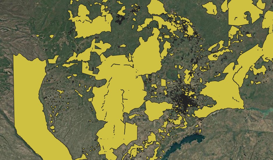
State Land
Combined layer of the State Land
Simple
- Date (Publication)
- 2025-02-05T16:00:00+00:00
- Status
- On going
- Point of contact
-
Organisation name Individual name Electronic mail address Role NLA
Floren Lasry
Point of contact
- Maintenance and update frequency
- As needed
- Theme
-
- Place
-
-
State land
-
- Access constraints
- Copyright
- Use constraints
- otherRestictions
- Spatial representation type
- Vector
- Denominator
- 100000
- Language
- English
- Character set
- UTF8
- Topic category
-
- Boundaries
- Location
- Begin date
- 2025-02-05
- End date
- 2030-02-05
N
S
E
W
))
- Reference system identifier
- WGS 1984
- OnLine resource
-
Protocol Linkage Name OGC:WMS
https://www.znsdi.net/geoserver/gn/wms?service=WMS StateLand
- Hierarchy level
- Dataset
Metadata
- File identifier
- 601460ed-51df-476d-8231-f0b9332198af XML
- Metadata language
- English
- Character set
- UTF8
- Date stamp
- 2025-02-05T14:32:38.013685Z
- Metadata standard name
-
ISO 19115:2003/19139
- Metadata standard version
-
1.0
- Metadata author
-
Organisation name Individual name Electronic mail address Role Point of contact
)))